A pictorial tour of our estate
Thurstan’s Rise estate was named after Thurstan’s Brook, around which the original settlement of Coleford developed. The stream running through the central area of the estate, is fed by a spring near Crossways and is known as Sluts Brook. This is a tributary of Thurstan’s Brook, (now known as Valley Brook) which still runs through the town centre, via culverts under Bank Street and down Newland Street. All the estate roads are named for local woods.
Blake’s Wood lies alongside the A4136 Monmouth road between Coleford and Staunton, and the only vehicle access to the estate is from the B4228, Staunton Road, via Blake’s Way.
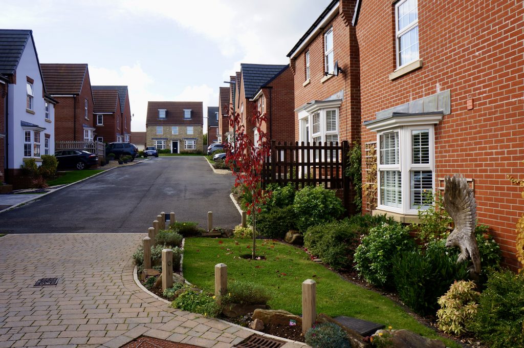
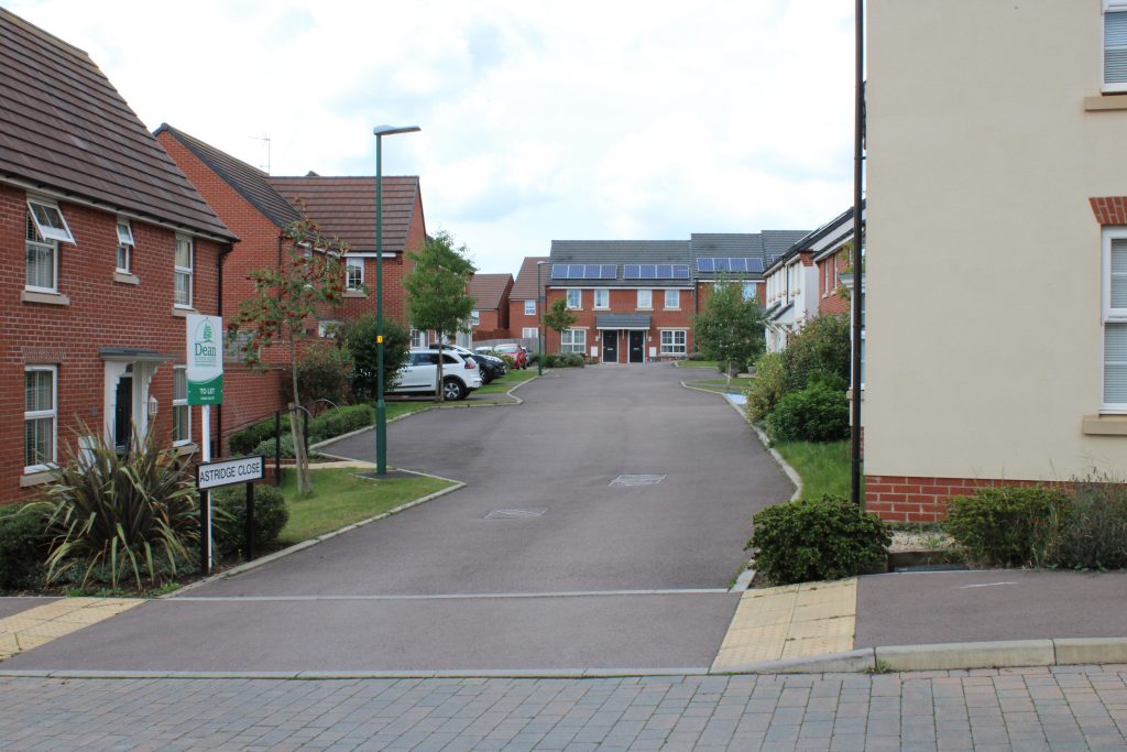
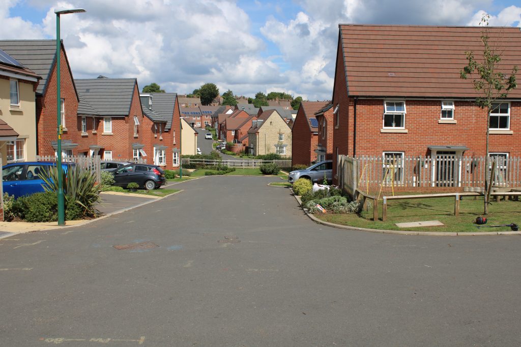
Blake’s Way is the main thoroughfare of the estate, with all other roads accessible from it. This view faces south-west, towards Coleford cemetery and the Angus Buchanan Recreation Ground.
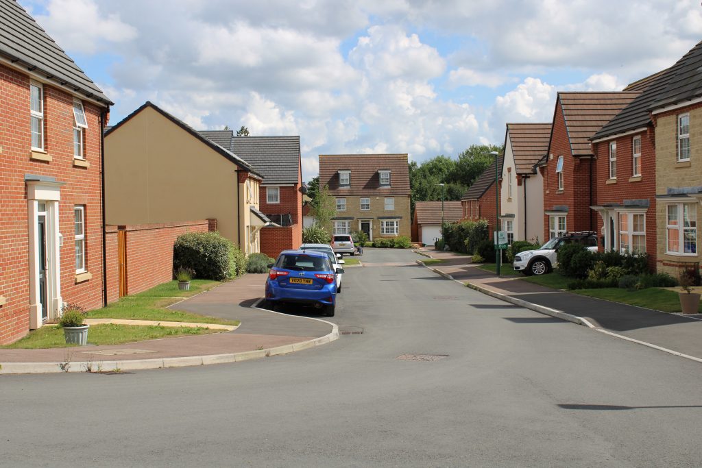
Inwood Wood lies to the south of Coleford, between Newland and Clearwell. Inwood Drive leads off Blake’s Way to the right, as you enter the estate.
Astridge Wood lies west of Coleford, and to the south of the Scowles Road, which leads to Redbrook village on the A466 road along the River Wye. Astridge Close is to the right, off the longer section of Blake’s Way.
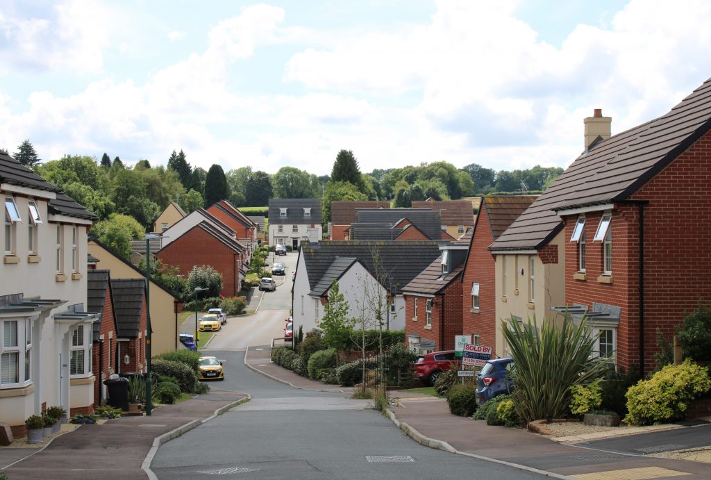
Caudwell Close runs along the north side of the central public open space containing the valley of Sluts Brook. (The western section is accessed from Inwood Drive.) It is named after a small strip of woodland lying south of Inwood, between Newland and Clearwell.
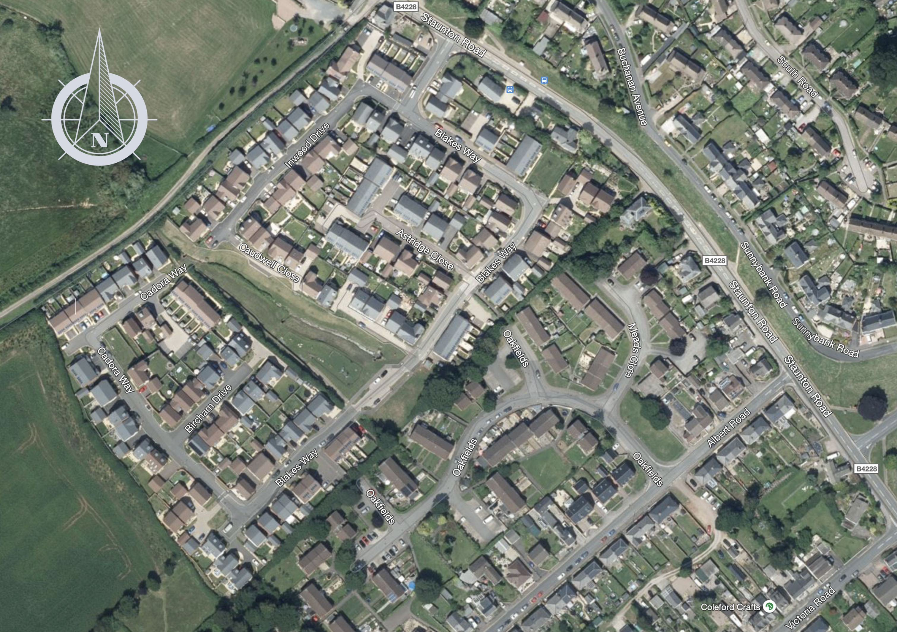
An aerial view of the estate and neighbouring areas
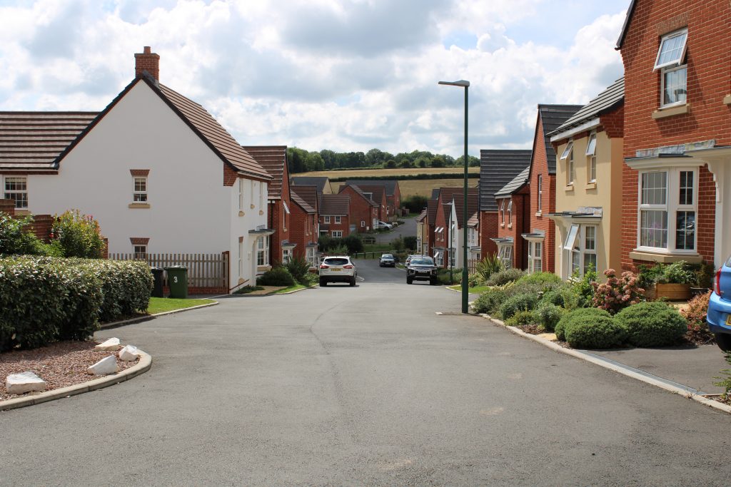
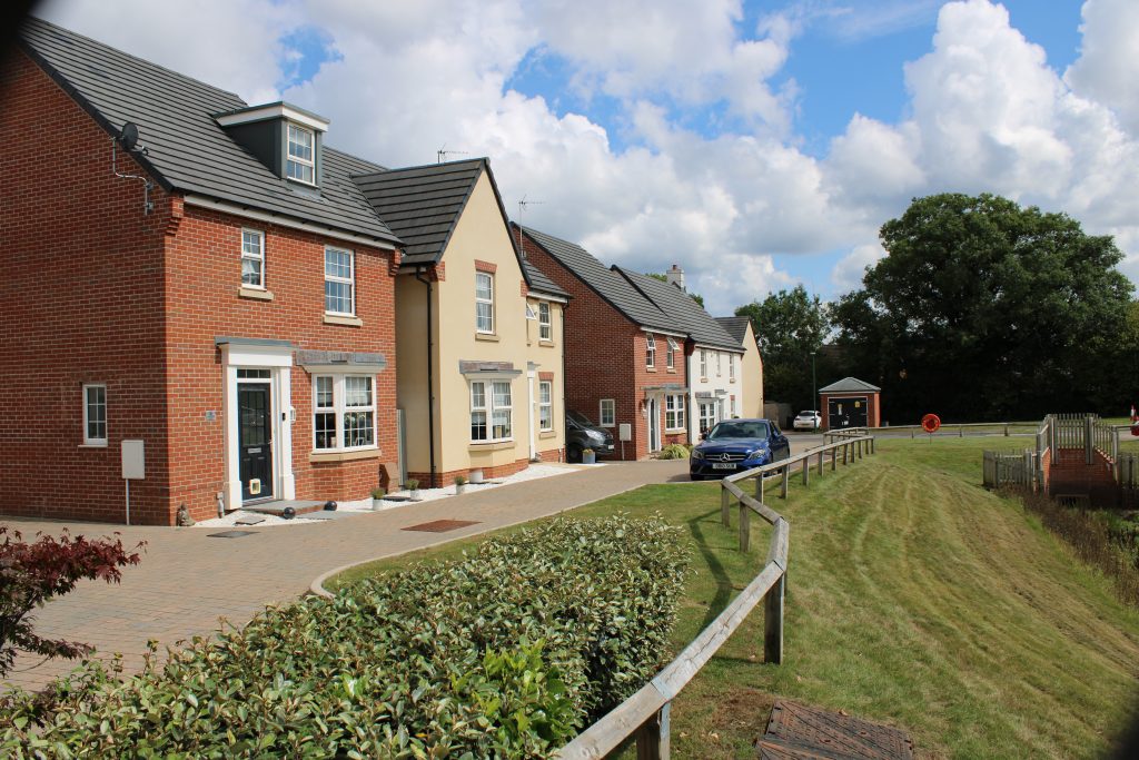
Cadora Way is the second longest road, running from the southern end of Blake’s Way around the south-western border of the estate.
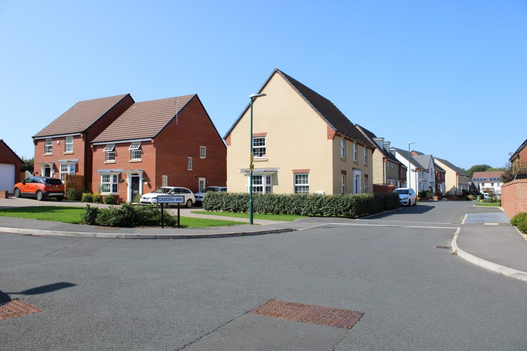
It is named after the large wooded area bordering the River Wye, between Redbrook and the Bigsweir Bridge.
Bircham Drive, accessed from Cadora Way, leads down to the central open area of the estate. Named after a small wood lying between Whitecliff and Newland.